Road library · 10 roads · 8 countries · 50 km
The road library
The roads that come with RoadTwin Simulator 0.1, from a Provence plain to a fjord in Norway. Each one is built by our server from public data, the same way your own road would be, and comes for RoadTwin Simulator, Assetto Corsa and BeamNG.drive (beta).
Near Asheville, Buncombe County, North Carolina
Blue Ridge Parkway
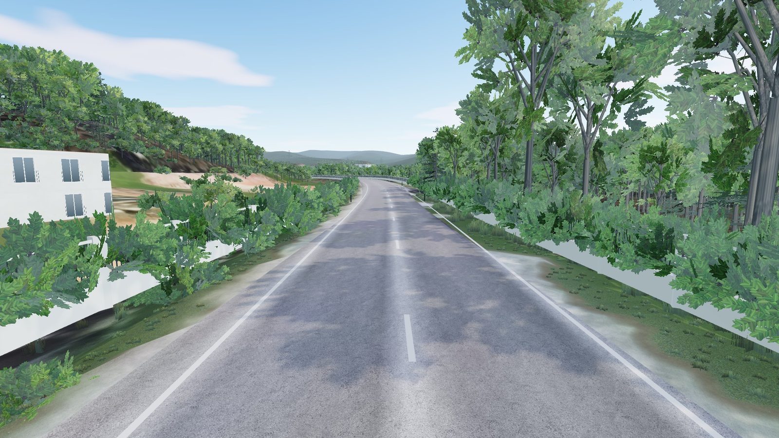
A narrow two-lane mountain road with a double yellow line, climbing 78 metres through dense forest, nearly 14,500 trees and a single building. A short tunnel cuts through the ridge; the elevation is USGS 1-metre LiDAR.
- 1.91 km
- length
- 78 m
- climb
- 15 MB
- download
Also comes for Assetto Corsa and BeamNG.drive (beta).
For RoadTwin Simulator: unzip into its tracks folder. Installation help. Map data © OpenStreetMap contributors; other sources are credited in the track's manifest.
 Free for everyone
Vaucluse, Provence, France
Caromb to Carpentras
It starts between the houses of Caromb and runs down the plain to Carpentras, past vineyards, farm lanes and 70 junctions. The elevation comes from IGN's RGE ALTI survey and the roadside from IGN aerial photos; 2,636 buildings line the way, and nearly 500 side streets are built so you can turn off and explore.
- 9.73 km
- length
- 49 m
- climb
- 173 MB
- download
Also for other sims Beta
- ↓ Assetto Corsa 125 MBDrag the zip onto Content Manager and click Install (or unzip it into your assettocorsa folder). The road is then under Drive → Track.
- ↓ BeamNG.drive 216 MBPut the zip, still zipped, in the mods folder of your BeamNG.drive user folder. The road is then a level in Freeroam.
Beta: these zips are new. If one doesn't load, write to us and we'll fix it and send you a new one. support@roadtwins.com
Automobilista 2: coming soon. How to install
For RoadTwin Simulator: unzip into its tracks folder. Installation help. Map data © OpenStreetMap contributors; other sources are credited in the track's manifest.
Göschenen, Uri, Switzerland
Gotthard road, Göschenen
Under two kilometres climbing 100 metres between steep spruce and pine, with grades up to 11%. The road starts in a tunnel and crosses a bridge before the houses of Göschenen; the elevation is swisstopo's swissALTI3D.
- 1.75 km
- length
- 101 m
- climb
- 22 MB
- download
Also comes for Assetto Corsa and BeamNG.drive (beta).
For RoadTwin Simulator: unzip into its tracks folder. Installation help. Map data © OpenStreetMap contributors; other sources are credited in the track's manifest.
 Club
Gironès, Catalonia, Spain
N-II and C-250, Girona
The national road, eight and a half metres wide, on the edge of Girona, where it joins the C-250 over a run of bridges, the Pont de la Teula among them. Slip roads, junctions and 160 buildings, on Spain's IGN 5-metre elevation model.
- 5.48 km
- length
- 46 m
- climb
- 58 MB
- download
Also comes for Assetto Corsa and BeamNG.drive (beta).
For RoadTwin Simulator: unzip into its tracks folder. Installation help. Map data © OpenStreetMap contributors; other sources are credited in the track's manifest.
 Club
Oakton, Fairfax County, Virginia
Oakton, Virginia
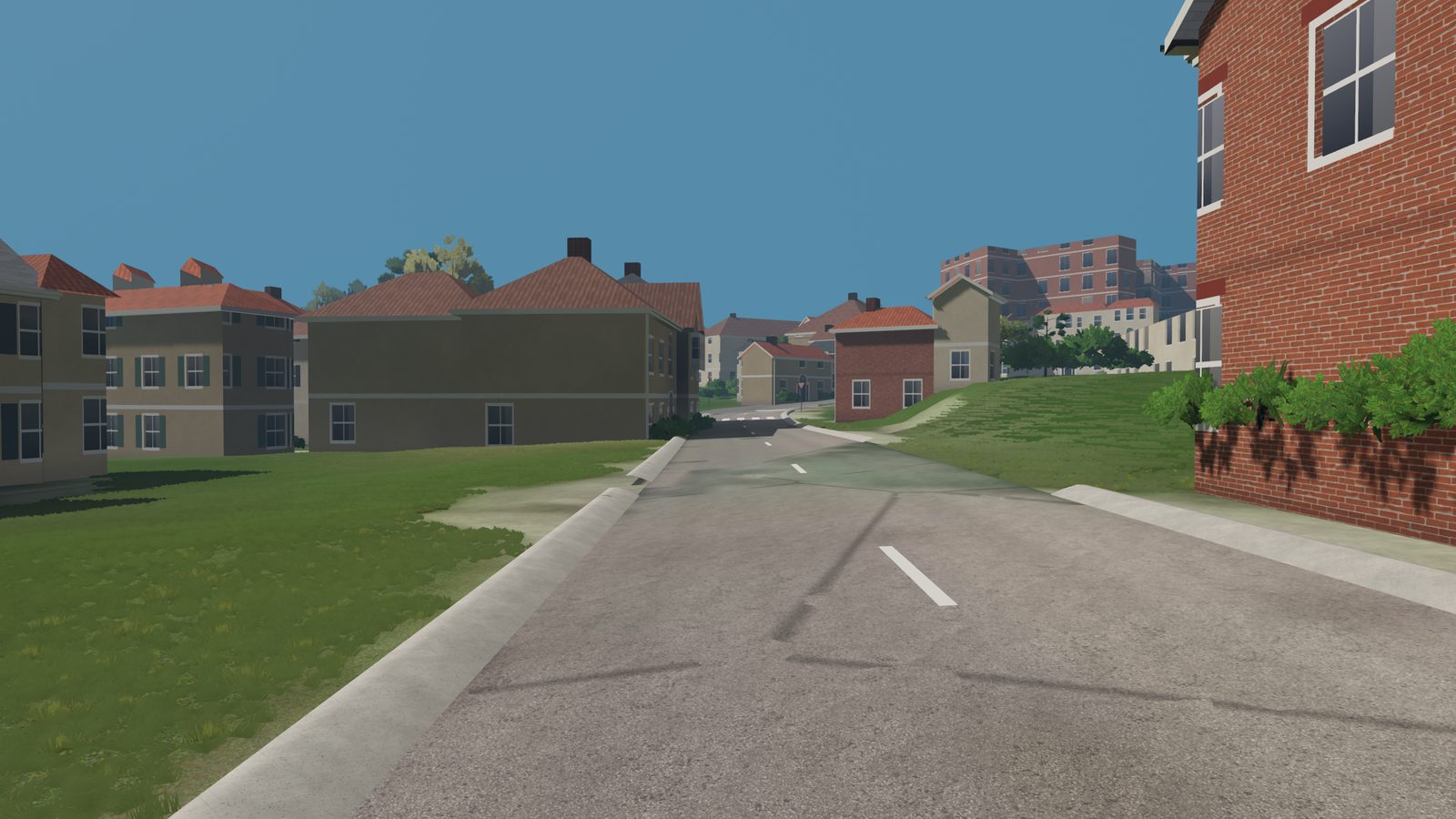
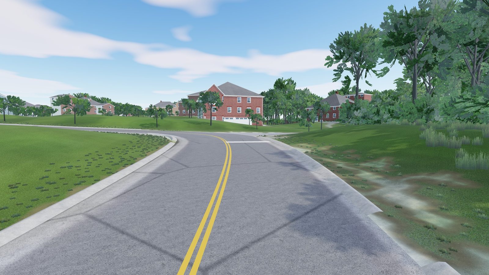
This is where the project started. The road follows the USGS 1-metre LiDAR to within a few centimetres, and the houses take their heights from Fairfax County's 2022 survey. Stop bars, driveways and mailboxes come from 3-inch aerial photos. It climbs 22 metres in just over a kilometre, and the steep bit near the top reaches 12%.
- 1.18 km
- length
- 22 m
- climb
- 16 MB
- download
Also comes for Assetto Corsa and BeamNG.drive (beta).
For RoadTwin Simulator: unzip into its tracks folder. Installation help. Map data © OpenStreetMap contributors; other sources are credited in the track's manifest.
 Club
Mendrisio district, Ticino, Switzerland
Rancate to Meride, Ticino
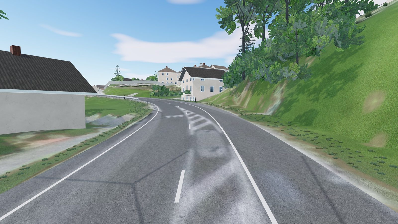
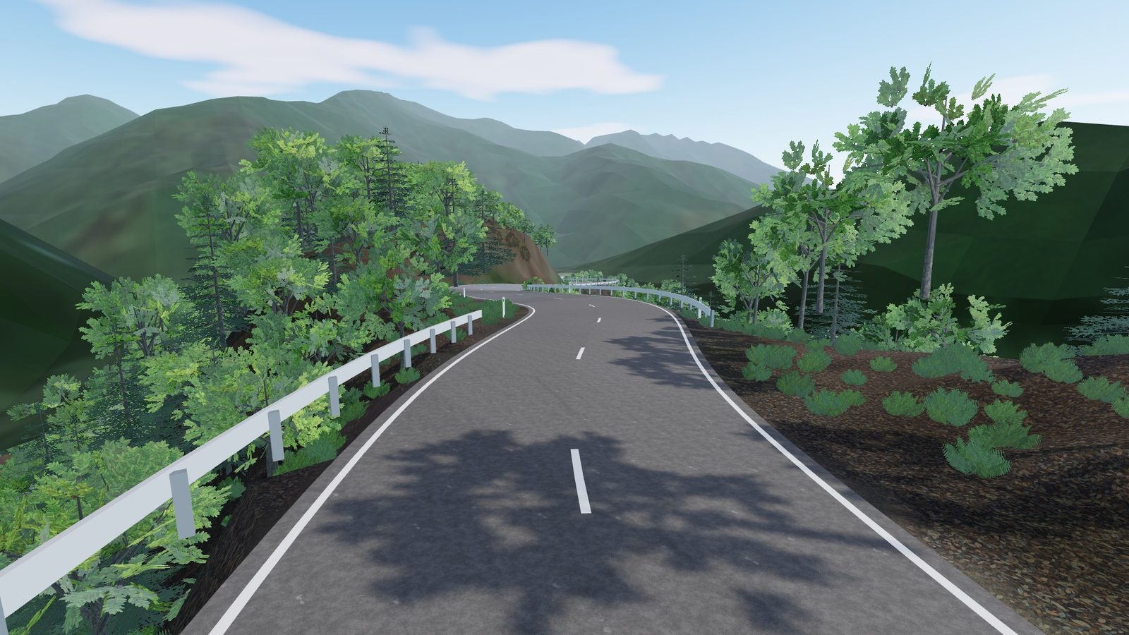
Narrow village streets and switchbacks as tight as five metres, between 669 buildings. The elevation is swissALTI3D.
- 4.07 km
- length
- 223 m
- climb
- 59 MB
- download
Also comes for Assetto Corsa and BeamNG.drive (beta).
For RoadTwin Simulator: unzip into its tracks folder. Installation help. Map data © OpenStreetMap contributors; other sources are credited in the track's manifest.
 Club
Nasushiobara, Tochigi, Japan
Shiobara-Yaita Line, Tochigi
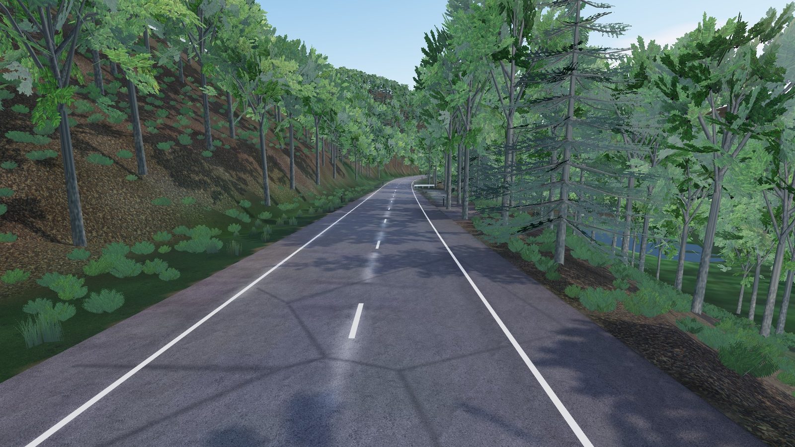
Thick forest the whole way, 38,000 trees, with bends down to a five-metre radius and grades up to 15%. Traffic keeps left; the elevation is GSI's 5-metre model.
- 5.72 km
- length
- 3 m
- climb
- 43 MB
- download
Also comes for Assetto Corsa and BeamNG.drive (beta).
For RoadTwin Simulator: unzip into its tracks folder. Installation help. Map data © OpenStreetMap contributors; other sources are credited in the track's manifest.
 Club
Hürtgenwald, North Rhine-Westphalia, Germany
Simonskall to Vossenack
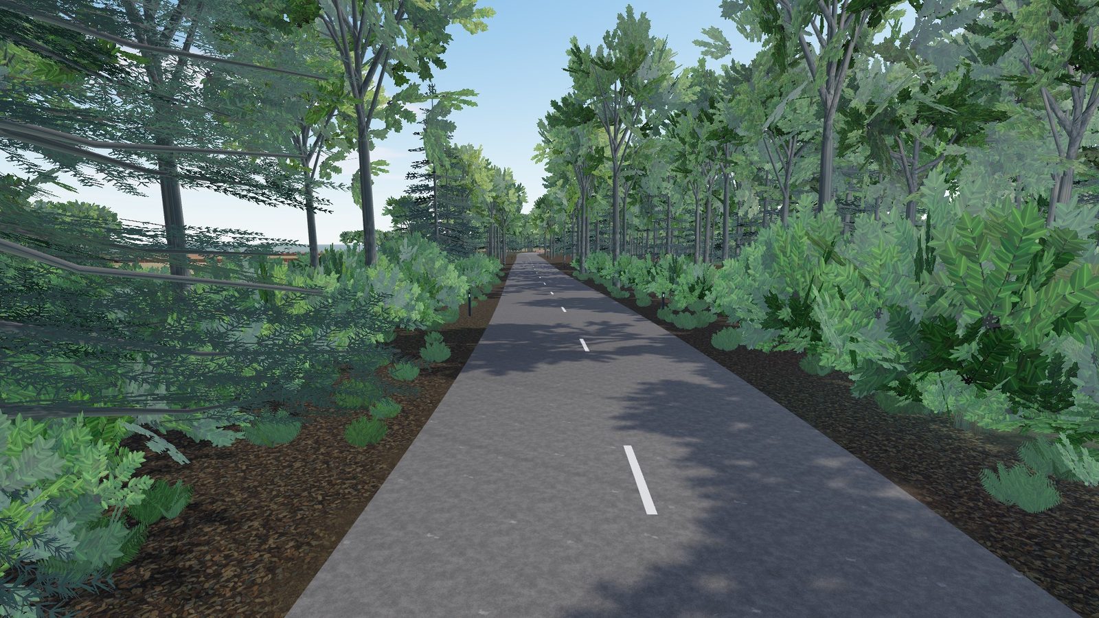
From the hamlet of Simonskall the route climbs out of the valley, through village streets and back into the woods: 1,030 buildings, nearly 20,000 trees and bends down to a five-metre radius. The elevation is North Rhine-Westphalia's 1-metre terrain model.
- 12.38 km
- length
- 307 m
- climb
- 116 MB
- download
Also comes for Assetto Corsa and BeamNG.drive (beta).
For RoadTwin Simulator: unzip into its tracks folder. Installation help. Map data © OpenStreetMap contributors; other sources are credited in the track's manifest.
 Club
Fordwich, Kent, England
Stodmarsh Road, Kent
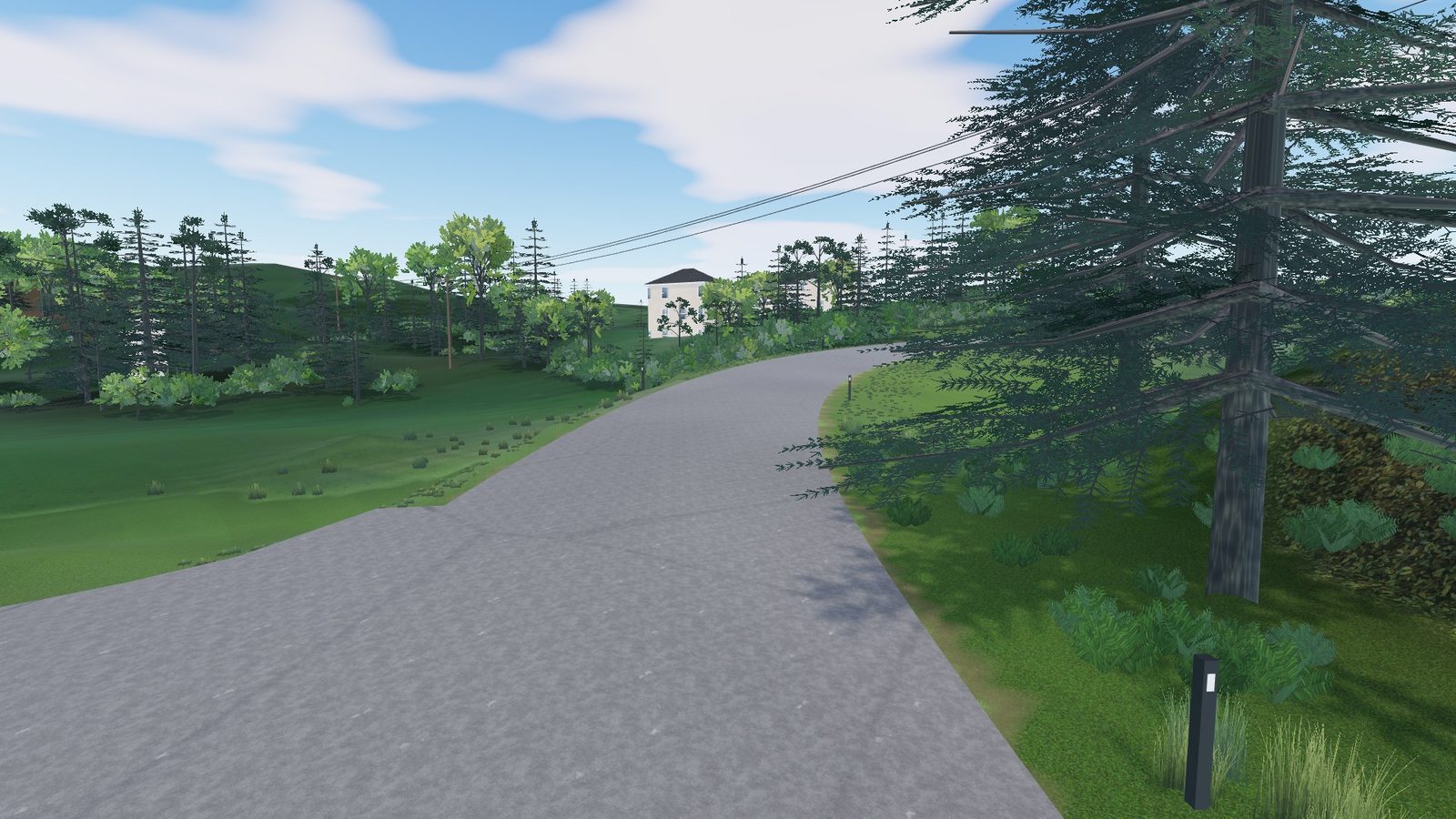
A quiet lane out of Fordwich toward Stodmarsh, six and a half metres wide, with 10,000 trees and 215 buildings beside it. The elevation is the Environment Agency's 1-metre LiDAR, so every dip in the lane is there.
- 5.04 km
- length
- 12 m
- climb
- 64 MB
- download
Also comes for Assetto Corsa and BeamNG.drive (beta).
For RoadTwin Simulator: unzip into its tracks folder. Installation help. Map data © OpenStreetMap contributors; other sources are credited in the track's manifest.
 Club
Vangsvika, Troms, Norway
Vangsvik, Senja
Woods and scattered houses, grades up to 9% and one bend as tight as seven metres. Kartverket's 1-metre terrain model gives the elevation.
- 2.74 km
- length
- 145 m
- climb
- 20 MB
- download
Also comes for Assetto Corsa and BeamNG.drive (beta).
For RoadTwin Simulator: unzip into its tracks folder. Installation help. Map data © OpenStreetMap contributors; other sources are credited in the track's manifest.
Want a road that isn't here? Yours is built the same way, and you see the price before paying.
Build my road →