← All roads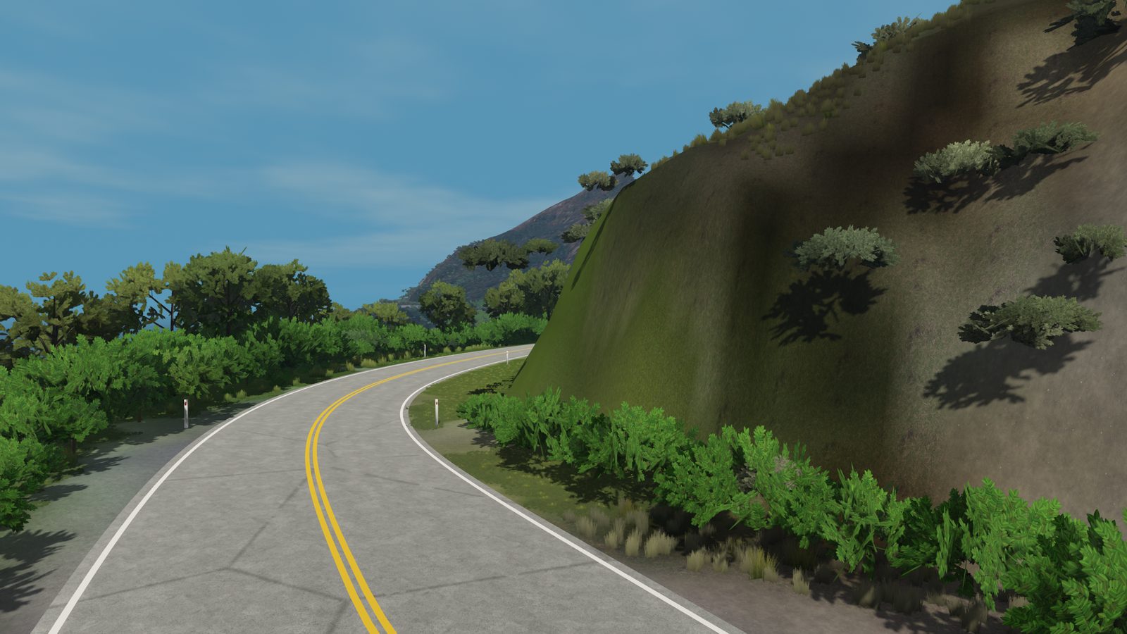
San Luis Obispo County, California
Pacific Coast Highway, Ragged Point
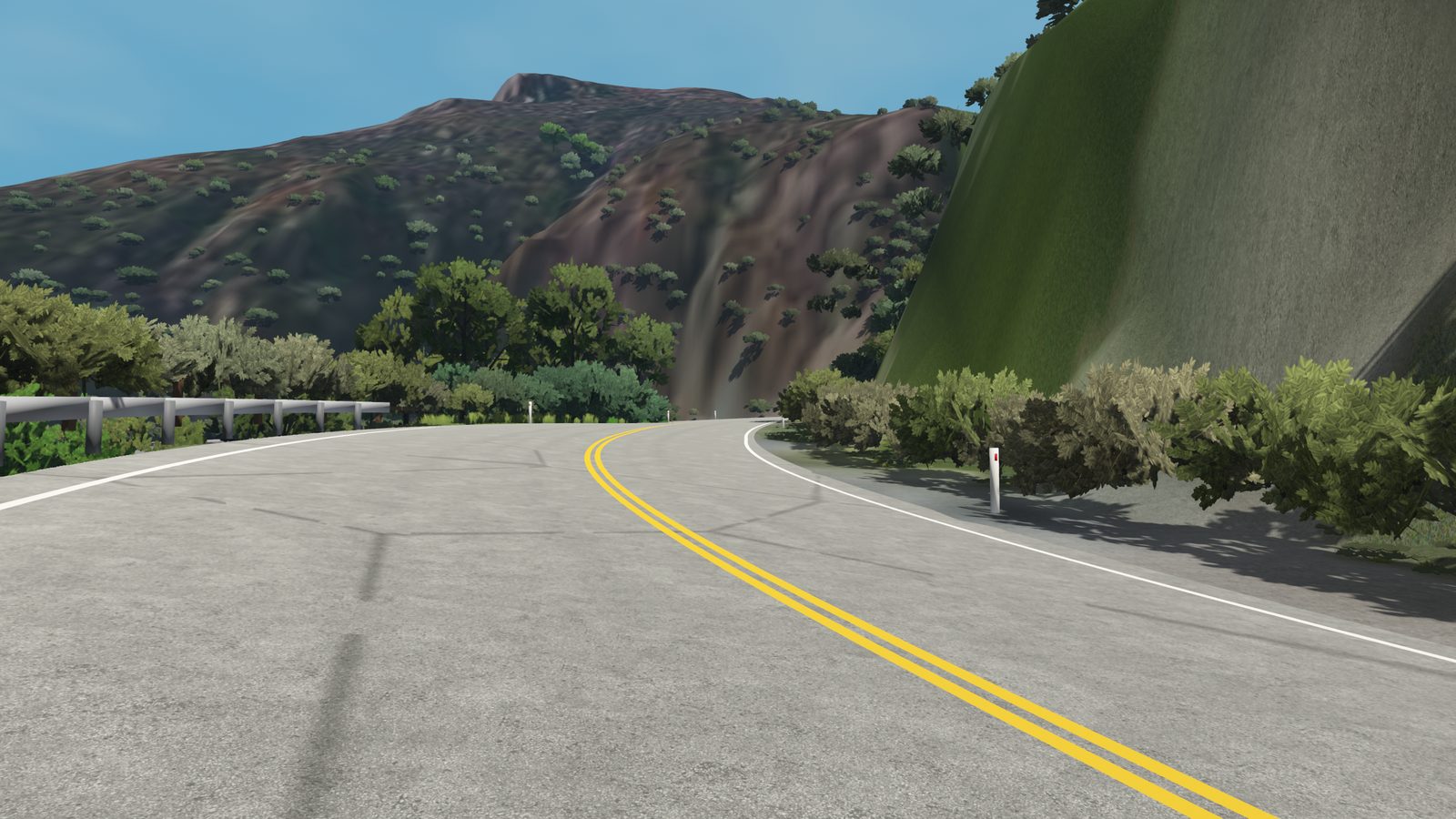
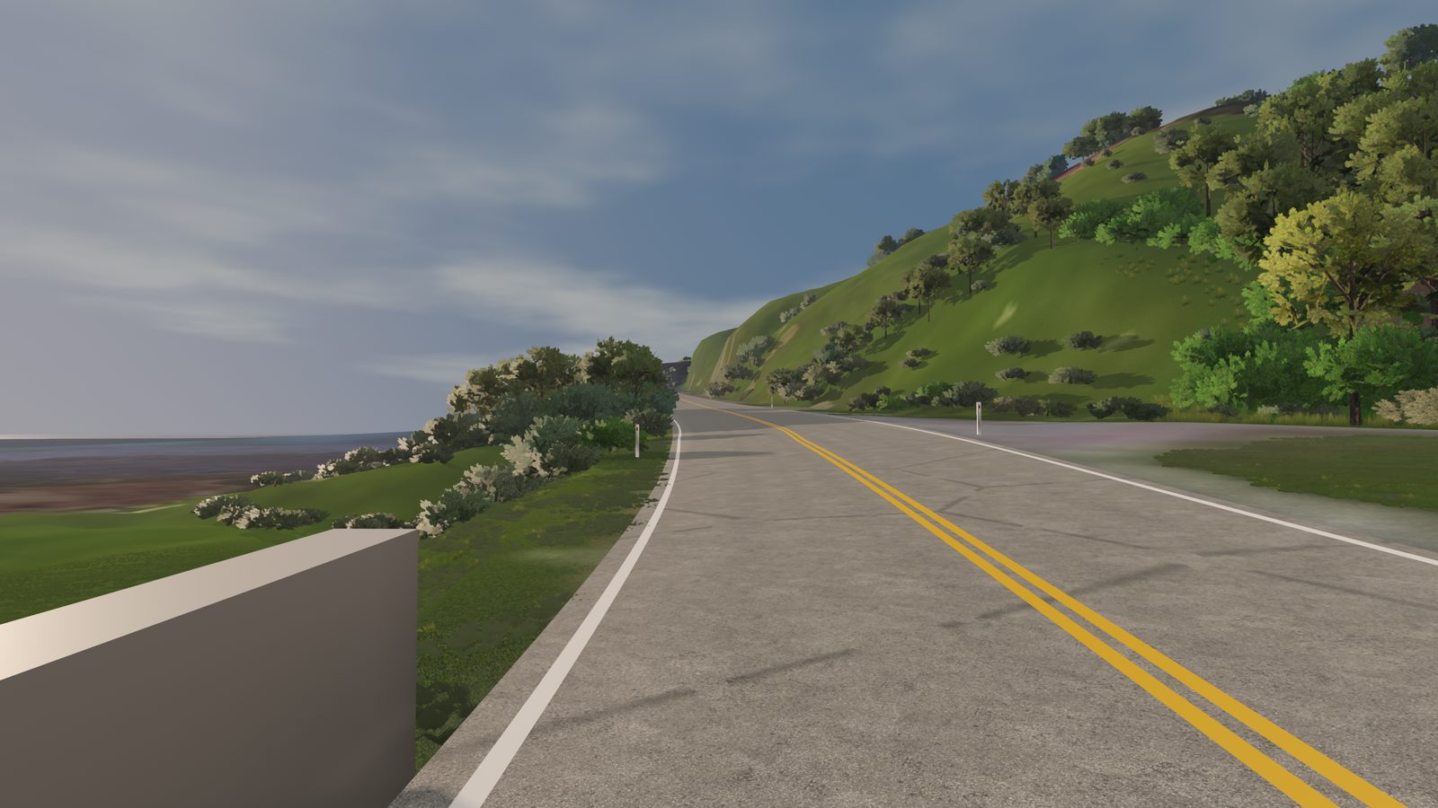
Ten kilometres of Highway 1 on the cliffs above the Pacific, climbing 250 metres along the way.
Northbound along the cliffs around Ragged Point, with the ocean on your left the whole way. The road follows USGS 1-metre LiDAR around every headland and over the creek bridges, so the climbs and the drops are the real ones. Grades reach 11% where it climbs away from the water.